bukken_finder
A property database tool that searches by floor plan and travel time
Overview
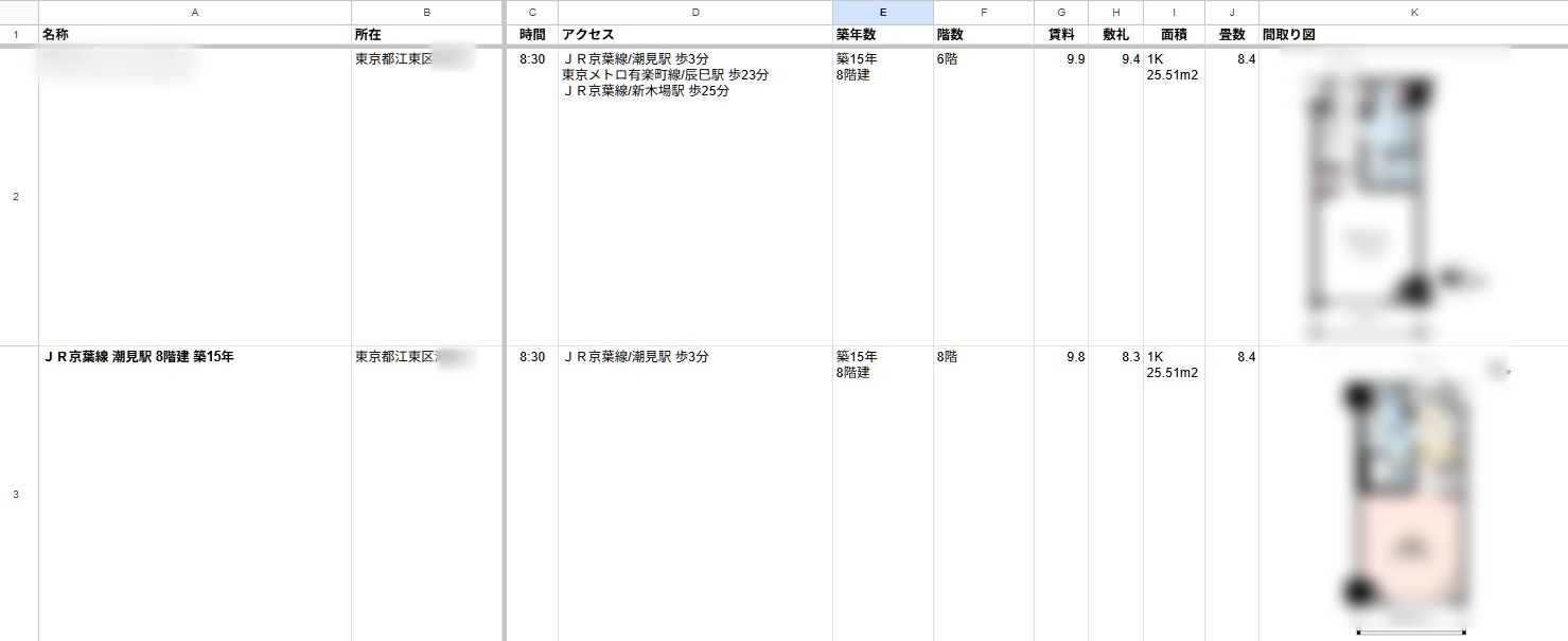
A tool that takes information about a property, such as floor-plan images, room photos, and listing text, then computes the rent, the floor area, and the actual travel time to specific places like a workplace, and stores it all in a database. It can exhaustively search for properties matching conditions like the tatami count in the floor plan, the room layout, whether you can reach the office by 9:00, and a rent ceiling.
I originally built it to choose my own next home, but a real-estate company then approached me with a commission, and I now provide it as their underlying system.
Motivation
While choosing where to move, what I wanted to know was not the minutes-on-foot from the station but the door-to-door time to my university or workplace. That number, transfers and walking segments included, appears nowhere on property sites, and running route searches by hand for one candidate at a time hit its limit very quickly.
Floor-plan information has problems of its own. There is no unified standard for how it is presented. You can get a room’s square meterage, but the figure includes hallways and plumbing areas, so it tells you nothing about the size of the actual living space. The floor-plan image lists the tatami count of each room, yet because it is an image, you cannot search it. Try to act on a preference about where the bed or the kitchen should go, and you are stuck collecting dozens of floor-plan images and comparing them one by one by eye. Extremely inefficient.
The system
The tool scrapes properties matching the search criteria from a certain property listing site, fetches travel times to the destinations in bulk through the Google Maps API, and makes the results sortable by rent, floor area, and travel time.
For properties where floor-plan or viewing images are available, AI analyzes them and converts information that exists only inside the images, such as tatami counts and room layout, into searchable data. Feeding images straight into analysis, though, makes the AI usage fees balloon. So the system applies its own preprocessing to lighten the analysis load before anything reaches the AI.
The Google Maps API fees get the same care. The number of route searches grows with the product of properties and destinations, so calling the API without any thought makes the cost swell rapidly. The tool caches fetched results to avoid recomputation, a design that lets you narrow the list down as many times as you like while changing the conditions.
Outcome
A tool built to fix my own inconvenience ended up adopted as the platform of a real-estate company. The habit of clearing an everyday annoyance with code before the day is over shows up at Hackart and in professional work alike. I am also satisfied that I finished a tool that backs my own decisions with my own data, with the operating costs accounted for.